Topographic Land Survey
You need a good foundation to visualize your ideas.
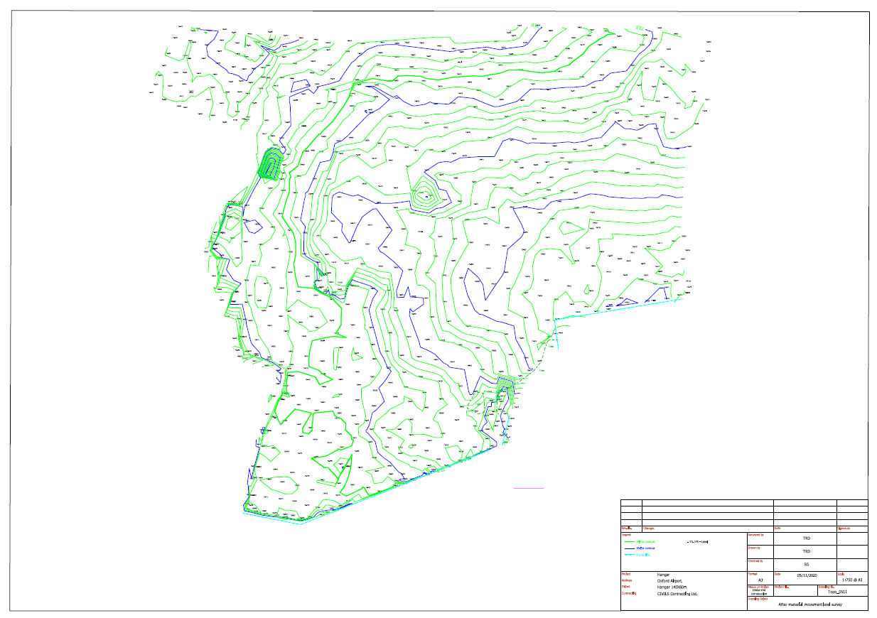
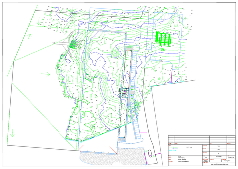
Our topographic survey is the basis for planning your project.
Accurate measurements allow a very accurate mapping, which is the goal of good spatial planning.
Topographic survey
We produce accurate topographic maps in 2D or 3D for design purposes or mass displacement calculations.
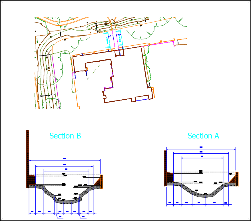
Based on our accurate surveys we can produce cross sections of: roads, ditches or moats.
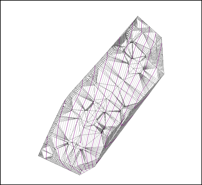
We prepare Digital Terrain Modelling (DTM) files
based on measurements or based on designed data.
DTM data also we can convert to files compatible to machine guiding systems for dozers or excavators.